

|

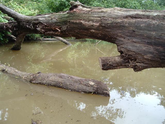
Downed Tree on mystery creek
Eno River to Falls Lake III Trip
Put In - From intersection of I-85, exit 182 (SR1632-Red Mill Rd). Travel Red Mill Rd. west 4.5 miles to stop sign. Turn right on SR1794 travel 0.5 miles to stop sign and turn right onto SR1632, follow into area. There is one ramp for motor boats, the best place for put in for kayaks is to the right of the boat ramp. Very muddy at high water and various rocks around to scratch your boat. You can park near the ramp on the right and unload and then park your car back in the parking lot.
Distance/Time - 7.5 miles/4 hours/2 MPH Avg Speed
Difficulty - Average
Lake Level - 251.5 ft Adding lake level as on this trip the secret cut-thru was at low water so had to portage through this area.
Trip Directions - From the put in, head left towards Falls Lake. About .8 mile down the Flat River merges into the Eno. Tried to take a creek on the satellite map that look promising, but very soon after entering the creek I ran into a downed tree. Cut one branch hoping it would sink, but no luck so had to turn back.
Scenery - Ranges from swamp type vegetation to open water with flocks of sea gulls.
Hazards - Low water area, see track map for location. Need to pick your way through the stumps and backwater logs that have become dammed in this area. Also, be careful going in and out, with power boats coming and leaving the boat ramp. At lake level 251.5 ft the low water area is to shallow to maneuver.