

|

Put In at high water!
Put In - Located left of the dam spillway, down by the picnic area. A nice trail from the parking area leads down to the water Access is off of Falls of Neuse Road, parking is just before the dam overpass. Gates are only open 8am-5:30pm daily.
Distance/Time - 9.1 miles/3.5 hours
Difficulty - Average
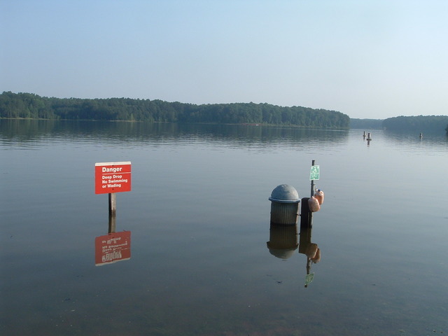
Trip Directions - It was an early morning start to beat the heat and I headed towards the Raleigh water intake. Tropical storm Alberta had dropped 6 inches of rain or more on Raleigh the past week, so the lake was up at least 3 feet or more. It was at 255 feet at the water intake gauge. I traveled east towards Possum Track road and explored all the long coves. Found two access roads that take you up into subdivisions. Areas of the lake are covered in debris from the storm water runoff, but mostly it was nice and clean. Real nice to see the lake at this level at the start of the summer. Lets hope the City of Raleigh and the Corps of Engineers do not draw the lake down at this point. Who knows what they might do, as this level of the lake could get us through the summer months. Met various folks on the water as this was a good day to be out paddling.
Hazards - water level was high, so you have to look out for floating debris and underwater stuff. Motor boats showed up later in the day.