

|

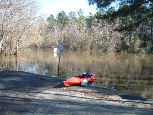
Flooded Boat Ramp
Falls Lake - Eno Boat Ramp Flooded Trip
Put In - From intersection of I-85, exit 182 (SR1632-Red Mill Rd). Travel Red Mill Rd. west 4.5 miles to stop sign. Turn right on SR1794 travel 0.5 miles to stop sign and turn right onto SR1632, follow into area. The boat ramp was totally flooded, had to park back on the access road and then portage across the water to the ramp. Had my waterproof socks so that worked out well. Good old trucks had no problems driving through the flooded areas, I did not want to take that chance.
Distance/Time - 9.5 miles/5 hours/3 MPH Avg Speed
Difficulty - Above Average
Lake Level - 257+ ft At least 6 feet above normal! This allowed us to head far up Knapp of Reeds Creek.
Trip Directions - From the put in, head left towards Falls Lake. About .8 mile down the Flat River merges into the Eno. Made a bee line for Knapp of Reeds Creek. Basically looked for areas to explore based on the high water. Ran into a Everglades type boat, they were traveling all over the flooded area, especially the power lines as these were flooded and clear of hidden stumps and stuff.
Scenery - Lots of birds today and a beaver playing in the flooded area.
Hazards - High water and debris.