

|

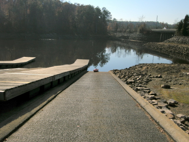
Boat Ramp - lowest level at Falls Lake ever recorded
Falls Lake - Old Six Forks Bridge
Put In - Located at the Upper Barton Creek boat ramp on Six Forks Road.
Distance/Time - 9.7 miles/5 hours
Difficulty - Above average because of low water.
Trip Directions - This trip was to investigate the old Six Forks Bridge that was blown up when Falls Lake was built. Since the lake level was at its lowest ever recorded it was hoped to be able to see the ruined bridge at the bottom of the lake. I found out this fact from reading the "The Battle for Falls Lake" by Janet Steddum. I located the GPS coordinate from the book, but the water is still to deep to see anything. From the book it is rumored that the Corp of Engineers demolished the wrong bridge and therefore that is why we have the strange Six Forks road split just above Bayleaf. I hiked two areas of old homesteads. At the old Six Forks road area I missed the old cemetery, only found it later looking at a topo map. Will have to go back again now.
Scenery - Osprey nest near Blue Jay Point was not active and it looked like it had been hit by lighting. Nice warm day in November, little breezy on the way back.
Hazards - Motor boats everywhere, be careful.