

|

Beaver Dam
Put In(s) - Located on Purnell Road where the road crosses Falls Lake. You can put in on either side of the road. Parking is on either side also. The south side put in requires navigating down a rustic path, stay high on the hill. The put in is close to the bridge side. The second put in is on the north side of the road an there is an old rocky eroded road down to the water. Have to be careful of ankle twists. Since the first trip on this section of the lake, No Parking signs have been erected along both sides of the road along the bridge. Asked a fisherman about them and he said the ranger said to ignore them. Not sure what is going on about that. Also, the north side access road has been smoothed out since many 4 wheel drive vehicles have been using the access road.
Distance/Time - 6miles/4 hours/Avg. Speed 2MPH
Difficulty - Easy/Average
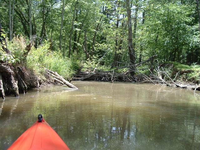
Trip Directions - From the north side put in, head south under the bridge. This area has many coves and I found two access roads. The first one heads up to Bud Morris Road, the road to BW Wells campsite. The second access is an old road used for a fire burn that hooks up with Purnell Road, I only hiked half of it. Nice old oak tree along this road, burned some from the fire. Had to even cut some downed trees to get into some of the coves. First time to see a turkey also in one of the coves. Also, found a cache of eagle feathers along the second access trail. This trip basically hooked up with the second Holly Point trip. The eagle nest could be seen from the second access road.
Scenery - lots of birds, eagles, people.
Hazards - Power boaters and skiers, many in this area. Lots of ticks along the two access roads I used for hiking. Had to fumigate me and the dog.